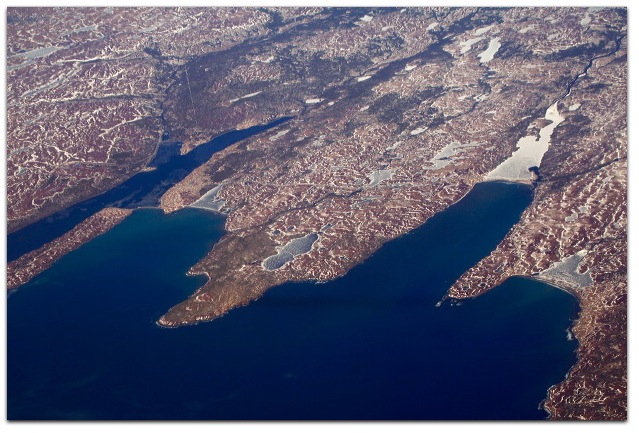
Often as I fly over eastern Canada, I’ve somehow always missed Newfoundland. It has always been nighttime, or clouded under, or too far from the plane’s route. Well, not this last time. When I flew from London to Boston via Washington (LHR-IAD-BOS) on the first day of March, I could see on the plane’s map that we were headed straight over the southeastern corner Newfoundland — the Avalon Peninsula, where St. John’s lies next to the easternmost point on mainland North America. Then, as we approached, the plane veered slightly left, toward the south, and we missed St. John’s by fifty miles or more. But it was a clear day, so I got a few shots of St. John’s anyway, and then much better shots as we flew just south of the southern capes.
I got some nice shots of Trepassy Bay, Biscay Bay and St. Mary’s bay, all on the “Irish Loop” of Highway 10. The towns along and near the loop — Portugal Cove South, Trepassy, St. Shotts — are fishing villages more akin to settlements. So far I’ve found surprisingly little about them on the Web, most of which I’ve put into links in captions under some of the pictures. Maybe some of ya’ll can fill me in.
Leave a Reply