Project Report: Exploring The African City
ø
In African and African-American Studies 174: The African City, students engaged with historic and present day cities in Africa by examining architecture, city planning, spatial framing, popular culture, and art markets. The course website was intended to:

- Provide students with a venue to continue lecture and section discussions after leaving the classroom.
- Allow students to create a multimedia response projects, instead of (or as a complement to) traditional written responses and papers.
- Include a multimedia repository of videos and maps that enhances and bring new possibilities to their final research project.
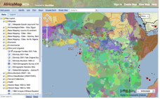
In order to accomplish these goals, ATG staff created a WordPress blog to serve as a “how to” guide for using Google Earth and AfricaMap for research and teaching, with specific lessons in geo-referencing and digitizing for historical GIS projects. They also digitized early maps and city plans of African Cities from the Harvard Map Collection and other repositories. All of this was added to the course iSite with the help of tools like iFrame, Slides, and Video Publishing.
Learn more at The African City course website and at worldmap.harvard.edu.

